
عرب topographic map
Interactive map
Click on the map to display elevation.
About this map
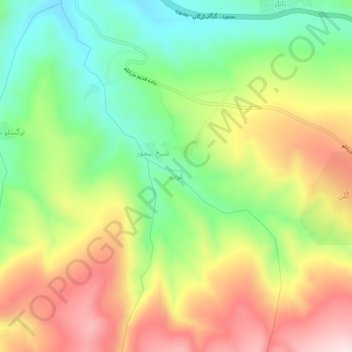
Name: عرب topographic map, elevation, terrain.
Location: عرب, بخش مرکزی, شهرستان بجنورد, Khorassan du Nord, Iran (37.48903 57.08567 37.52903 57.12567)
Average elevation: 1,100 m
Minimum elevation: 926 m
Maximum elevation: 1,310 m