
Río Lindo topographic map
Interactive map
Click on the map to display elevation.
About this map
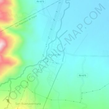
Name: Río Lindo topographic map, elevation, terrain.
Location: Río Lindo, San Francisco de Yojoa, Cortés, Honduras (15.02306 -88.00516 15.06306 -87.96516)
Average elevation: 158 m
Minimum elevation: 54 m
Maximum elevation: 550 m