Geolocate

Barc topographic map

Click on the map to display elevation.

About this map

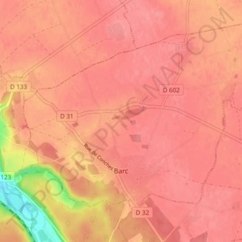
Name: Barc topographic map, elevation, terrain.

Location: Barc, Bernay, Eure, Normandy, Metropolitan France, 27170, France (49.06155 0.79150 49.09669 0.85764)

Average elevation: 148 m

Minimum elevation: 88 m

Maximum elevation: 162 m

Gear up for your next adventure:

🐕Hiking Dog Pack - Let your canine companion carry their own water and food
🔦UV Flashlight - Detect minerals or specific insects in the dark
🦯Trekking Poles - Reduced impact on joints for steep topographic climbs
🎒Hiking Backpack - Lightweight and ergonomic backpacks for day hikes or multi-day treks
🧦Crew Hiking Socks - Comfortable socks for long-distance hikes

As an Amazon Associate, this site earns from qualifying purchases at no extra cost to you.