Geolocate

Kulsari topographic map

Click on the map to display elevation.

About this map

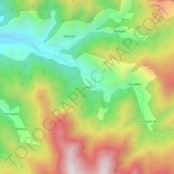
Name: Kulsari topographic map, elevation, terrain.

Location: Kulsari, Chaukhutiya, Almora, Uttarakhand, India (29.84577 79.44377 29.88577 79.48377)

Average elevation: 1,684 m

Minimum elevation: 1,197 m

Maximum elevation: 2,306 m

Gear up for your next adventure:

🛌Insulated Sleeping Pad - Critical thermal barrier between you and the cold ground
🧭GPS Handheld Device - Reliable GPS navigation for outdoor adventures
🥫Freeze-Dried Meals - Lightweight, high-calorie nutrition for multi-day treks
👖Convertible Hiking Pants - Zip-off legs to adapt to changing weather conditions
Camping Tent - Weather-resistant tents suitable for 2 to 6 people

As an Amazon Associate, this site earns from qualifying purchases at no extra cost to you.