Geolocate

Las Quintanas topographic map

Click on the map to display elevation.

About this map

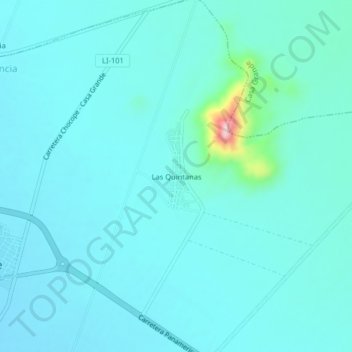
Name: Las Quintanas topographic map, elevation, terrain.

Location: Las Quintanas, Chocope, Ascope, La Libertad, Perú (-7.80181 -79.22000 -7.76181 -79.18000)

Average elevation: 130 m

Minimum elevation: 105 m

Maximum elevation: 327 m

Gear up for your next adventure:

🥾Hiking Boots - Sturdy boots providing ankle support and traction on rugged trails
🥾Trail Hiking Socks - Comfortable socks to prevent blisters and fatigue
Camping Tent - Weather-resistant tents suitable for 2 to 6 people
🍽️Titanium Camping Spork - Ultralight and indestructible eating utensil
🛌Insulated Sleeping Pad - Critical thermal barrier between you and the cold ground

As an Amazon Associate, this site earns from qualifying purchases at no extra cost to you.