
Bangesal topographic map
Click on the map to display elevation.
About this map
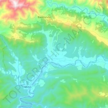
Name: Bangesal topographic map, elevation, terrain.
Location: Bangesal, Sarumarani, Pyuthan, Lumbini Province, Nepal (27.87781 82.76416 27.95412 82.90211)
Average elevation: 612 m
Minimum elevation: 304 m
Maximum elevation: 1,780 m