
Chaffeeville topographic map
Click on the map to display elevation.
About this map
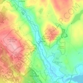
Name: Chaffeeville topographic map, elevation, terrain.
Average elevation: 133 m
Minimum elevation: 62 m
Maximum elevation: 210 m
Other topographic maps
Click on a map to view its topography, its elevation and its terrain.
Storrs
United States > Connecticut > Capitol Planning Region > Mansfield > Storrs
Average elevation: 165 m
Storrs
United States > Connecticut > Capitol Planning Region > Mansfield > Storrs
Average elevation: 165 m