Geolocate

Victoria topographic map

Click on the map to display elevation.

About this map

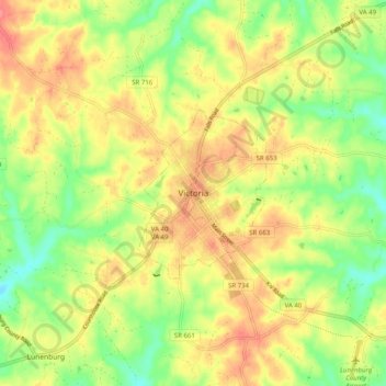
Name: Victoria topographic map, elevation, terrain.

Location: Victoria, Lunenburg County, Virginia, 23974, United States (36.95487 -78.26722 37.03487 -78.18722)

Average elevation: 152 m

Minimum elevation: 116 m

Maximum elevation: 185 m

Gear up for your next adventure:

🗺️Topographic Maps - Detailed maps to explore trails, mountains, and wilderness areas
🧼Biodegradable Camp Soap - Environmentally friendly cleaning for gear and body
🥾Waterproof Hiking Shoes - Durable shoes for wet and rugged trails
🛌Down Sleeping Bag - Superior warmth-to-weight ratio for cold nights
🛶Kayak Dry Bag - Waterproof storage for kayaking adventures

As an Amazon Associate, this site earns from qualifying purchases at no extra cost to you.