

Mardan topographic map
Click on the map to display elevation.
Mardan
Mardan is located in the south-west of the district at latitude 34°12'0 N and longitude 72°1'60 E and at an altitude of 283 metres (928 ft). Mardan is the district headquarters of Mardan District of Khyber Pakhtunkhwa. Risalpur is located to the south, Charsadda is located to the west, Yar Hussain to the east and Takht Bahi and Katlang to the north.
About this map
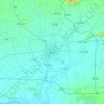
Name: Mardan topographic map, elevation, terrain.
Average elevation: 328 m
Minimum elevation: 284 m
Maximum elevation: 894 m
Other topographic maps
Click on a map to view its topography, its elevation and its terrain.


