
Carden topographic map
Click on the map to display elevation.
About this map
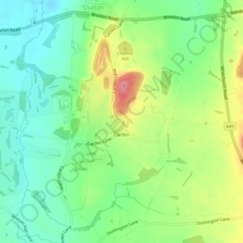
Name: Carden topographic map, elevation, terrain.
Location: Carden, Cheshire West and Chester, England, United Kingdom (53.06039 -2.81560 53.08452 -2.78566)
Average elevation: 51 m
Minimum elevation: 15 m
Maximum elevation: 110 m
Other topographic maps
Click on a map to view its topography, its elevation and its terrain.
Little Stanney Wood
United Kingdom > England > Cheshire West and Chester > Stoak > Little Stanney
Average elevation: 11 m