Geolocate

Galera topographic map

Click on the map to display elevation.

About this map

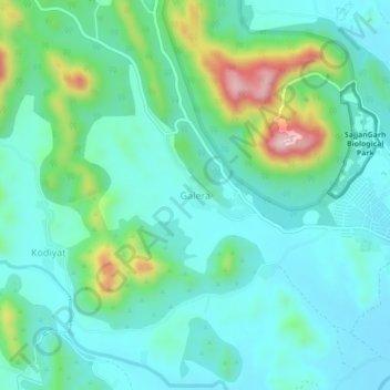
Name: Galera topographic map, elevation, terrain.

Location: Galera, Girwa Tehsil, Udaipur District, Rajasthan, India (24.56828 73.60949 24.60828 73.64949)

Average elevation: 670 m

Minimum elevation: 597 m

Maximum elevation: 919 m

Gear up for your next adventure:

🧢Outdoor Cap - Protective cap for sun and rain during hikes
🥾Approach Shoes - Shoes designed for climbing approaches and rugged trails
🦟Insect Repellent - Keep mosquitoes and black flies away in wooded areas
🥾Trekking Poles - Adjustable trekking poles to reduce knee stress and improve stability
Lightweight Backpacking Tent - Compact tent for efficient hiking trips

As an Amazon Associate, this site earns from qualifying purchases at no extra cost to you.