
Aofeng Subdistrict topographic map
Click on the map to display elevation.
About this map
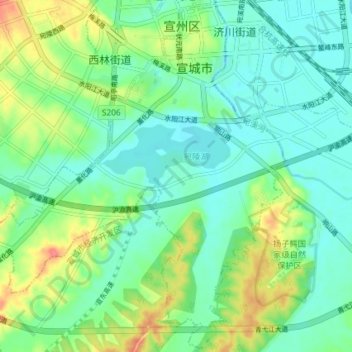
Name: Aofeng Subdistrict topographic map, elevation, terrain.
Location: Aofeng Subdistrict, Xuanzhou District, Anhui, 242100, China (30.89109 118.70000 30.95244 118.77301)
Average elevation: 26 m
Minimum elevation: 7 m
Maximum elevation: 66 m