Geolocate

Hashima Island topographic map

Click on the map to display elevation.

About this map
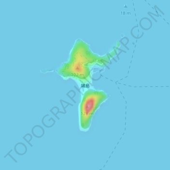
Name: Hashima Island topographic map, elevation, terrain.

Location: Hashima Island, Iwakuni, Yamaguchi Prefecture, Japan (34.02704 132.37877 34.04181 132.39138)

Average elevation: 3 m

Minimum elevation: 0 m

Maximum elevation: 109 m

Gear up for your next adventure:

💡Solar Camping Lamp - Eco-friendly lighting for campsites
❄️Traction Ice Cleats - Slip-on spikes for icy trails and winter hiking
⛺Family Camping Tent - Spacious tent suitable for family camping trips
💡LED Camping Lantern - Illuminate your campsite with long-lasting lanterns
🛶Kayak Dry Bag - Waterproof storage for kayaking adventures

As an Amazon Associate, this site earns from qualifying purchases at no extra cost to you.