Geolocate

Bordoloni topographic map

Click on the map to display elevation.

About this map

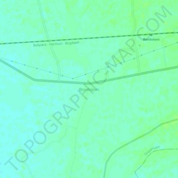
Name: Bordoloni topographic map, elevation, terrain.

Location: Bordoloni, Gogamukh, Dhemaji District, Assam, 787026, India (27.39113 94.40225 27.43113 94.44225)

Average elevation: 96 m

Minimum elevation: 92 m

Maximum elevation: 100 m

Gear up for your next adventure:

💡Solar Camping Lamp - Eco-friendly lighting for campsites
🥾Trail Hiking Socks - Comfortable socks to prevent blisters and fatigue
🧰Emergency Multi-Tool - Compact multi-tool for outdoor survival
🧴Bear Spray Holster - Quick-access carry for essential Canadian wilderness safety
Tent Footprint - Protect tent floor and increase durability

As an Amazon Associate, this site earns from qualifying purchases at no extra cost to you.