Geolocate

Peseux topographic map

Click on the map to display elevation.

About this map
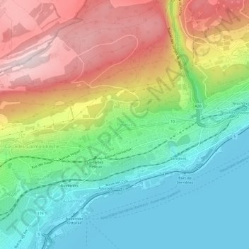
Name: Peseux topographic map, elevation, terrain.

Location: Peseux, Neuchâtel, Région Littoral, Neuchâtel, 2034, Switzerland (46.96869 6.87069 47.00869 6.91069)

Average elevation: 589 m

Minimum elevation: 422 m

Maximum elevation: 841 m

Gear up for your next adventure:

🥾Trail Hiking Boots - Supportive boots for rough trails
🥾Trail Hiking Socks - Comfortable socks to prevent blisters and fatigue
🎒Fully Waterproof Backpack - Total protection for photography gear and electronics
💧Filtered Water Bottle - Safe drinking water on the go
🧥Thermal Fleece Jacket - Versatile insulation for changing mountain temperatures

As an Amazon Associate, this site earns from qualifying purchases at no extra cost to you.