Geolocate

Marakavu topographic map

Click on the map to display elevation.

About this map

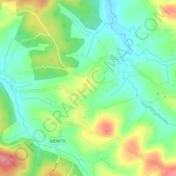
Name: Marakavu topographic map, elevation, terrain.

Location: Marakavu, Pulpally, Sulthanbathery, Wayanad, Kerala, India (11.78628 76.13121 11.80311 76.16555)

Average elevation: 769 m

Minimum elevation: 734 m

Maximum elevation: 828 m

Gear up for your next adventure:

Lightweight Camping Tent - Portable shelter optimized for Canadian backcountry camping
🧭Orienteering Kit - Tools for map reading and navigation in the wild
🥾Approach Boots - Comfortable boots for hiking and climbing approaches
🛌Down Sleeping Bag - Superior warmth-to-weight ratio for cold nights
🧭GPS Handheld Device - Reliable GPS navigation for outdoor adventures

As an Amazon Associate, this site earns from qualifying purchases at no extra cost to you.