
Scotsman Valley topographic map
Click on the map to display elevation.
About this map
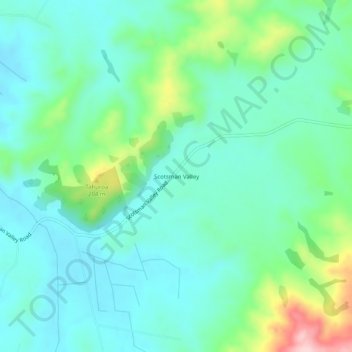
Name: Scotsman Valley topographic map, elevation, terrain.
Location: Scotsman Valley, Waikato District, Waikato, New Zealand (-37.79414 175.46837 -37.75414 175.50837)
Average elevation: 108 m
Minimum elevation: 49 m
Maximum elevation: 299 m