
Pinde topographic map
Interactive map
Click on the map to display elevation.
About this map
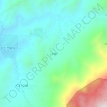
Name: Pinde topographic map, elevation, terrain.
Location: Pinde, Morogoro, Coastal Zone, Tanzanie (-7.06414 37.56959 -7.02414 37.60959)
Average elevation: 1,288 m
Minimum elevation: 1,003 m
Maximum elevation: 2,244 m