Geolocate

Torre Canne topographic map

Click on the map to display elevation.

About this map

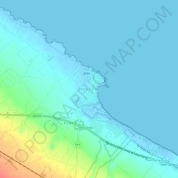
Name: Torre Canne topographic map, elevation, terrain.

Location: Torre Canne, Fasano, Brindisi, Apulia, 72016, Italy (40.81887 17.44550 40.85887 17.48550)

Average elevation: 8 m

Minimum elevation: -4 m

Maximum elevation: 51 m

Gear up for your next adventure:

🕯️Camping Lantern - Illuminates your entire campsite with high-efficiency LEDs
🧳Compression Sacks - Maximize space in your backpack by shrinking gear
🥾Lightweight Hiking Boots - Boots for comfort and mobility on long hikes
🔭Compact Monocular - One-handed bird watching and trail spotting
🦶Anti-Blister Balm - Prevents friction and hotspots during long ascents

As an Amazon Associate, this site earns from qualifying purchases at no extra cost to you.