
Wooster topographic map
Click on the map to display elevation.
About this map
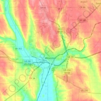
Name: Wooster topographic map, elevation, terrain.
Location: Wooster, Wayne County, Ohio, 44691, United States (40.74767 -81.97998 40.86609 -81.88563)
Average elevation: 315 m
Minimum elevation: 254 m
Maximum elevation: 371 m