Geolocate

Santor topographic map

Click on the map to display elevation.

About this map

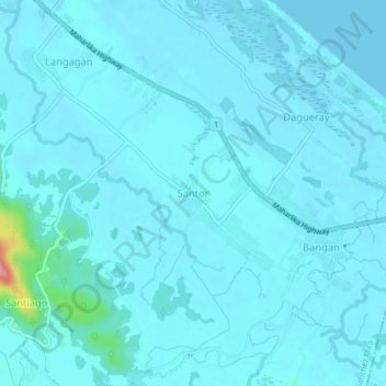
Name: Santor topographic map, elevation, terrain.

Location: Santor, Sanchez Mira, Cagayan, Cagayan Valley, Philippines (18.51675 121.23533 18.55675 121.27533)

Average elevation: 8 m

Minimum elevation: 0 m

Maximum elevation: 113 m

Gear up for your next adventure:

🧢Outdoor Visor - Breathable visor for sunny hikes
🔋Solar Power Bank - Keep your GPS and devices charged during long outdoor trips
🛶Waterproof Dry Bags - Keep electronics and clothes dry during river crossings
🥾Lightweight Hiking Boots - Boots for comfort and mobility on long hikes
🧢Hiking Hat - Sun-protective and breathable hats for long treks

As an Amazon Associate, this site earns from qualifying purchases at no extra cost to you.