Geolocate

North Bend topographic map

Click on the map to display elevation.

About this map

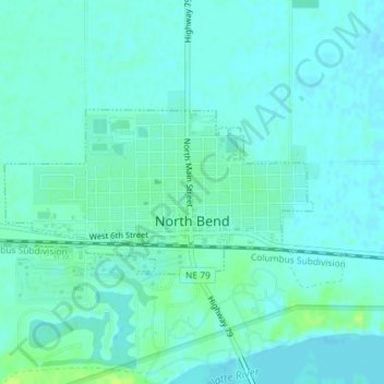
Name: North Bend topographic map, elevation, terrain.

Location: North Bend, Dodge County, Nebraska, United States (41.45893 -96.79765 41.47053 -96.76867)

Average elevation: 388 m

Minimum elevation: 384 m

Maximum elevation: 398 m

Gear up for your next adventure:

🧥Fleece Jacket - Warm and lightweight jacket for layering
🥾Approach Boots - Comfortable boots for hiking and climbing approaches
🧭Orienteering Kit - Tools for map reading and navigation in the wild
🧥Thermal Layer - Insulating layer for cold outdoor conditions
Camping Essentials - All-in-one gear for a comfortable camping trip

As an Amazon Associate, this site earns from qualifying purchases at no extra cost to you.