
Weißer Stein topographic map
Interactive map
Click on the map to display elevation.
About this map
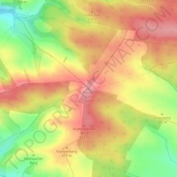
Name: Weißer Stein topographic map, elevation, terrain.
Average elevation: 302 m
Minimum elevation: 233 m
Maximum elevation: 349 m
Other topographic maps
Click on a map to view its topography, its elevation and its terrain.
Holungen
Duitsland > Thüringen > Landkreis Eichsfeld > Sonnenstein
Holungen, Sonnenstein, Landkreis Eichsfeld, Thüringen, 37345, Duitsland
Average elevation: 395 m
Holungen
Duitsland > Thüringen > Landkreis Eichsfeld > Sonnenstein
Holungen, Sonnenstein, Landkreis Eichsfeld, Thüringen, Duitsland
Average elevation: 398 m