Geolocate

Palico topographic map

Click on the map to display elevation.

About this map

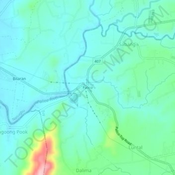
Name: Palico topographic map, elevation, terrain.

Location: Palico, Sabang, Tuy, Batangas, Calabarzon, Philippines (14.02763 120.67801 14.06763 120.71801)

Average elevation: 51 m

Minimum elevation: 14 m

Maximum elevation: 206 m

Other topographic maps

Click on a map to view its topography, its elevation and its terrain.

Palico River

Philippines > Batangas > Tuy > Sabang > Palico

Average elevation: 40 m

Gear up for your next adventure:

🧼Travel Hand Sanitizer - Keep hands clean when water is scarce
🔥Camping Stove - Portable stoves to cook outdoors with ease
Tent Footprint - Protect tent floor and increase durability
🧰Survival Kit - Essential gear for emergencies in the wilderness
🥾Waterproof Hiking Shoes - Durable shoes for wet and rugged trails

As an Amazon Associate, this site earns from qualifying purchases at no extra cost to you.