Geolocate

Paradip topographic map

Click on the map to display elevation.

About this map

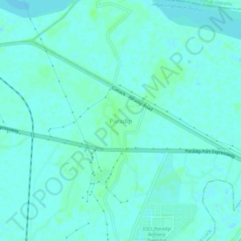
Name: Paradip topographic map, elevation, terrain.

Location: Paradip, Paradeep Lock, Jagatsinghapur District, Odisha, India (20.29573 86.58943 20.33573 86.62943)

Average elevation: 3 m

Minimum elevation: -1 m

Maximum elevation: 7 m

Gear up for your next adventure:

🏃Hydration Running Vest - Carry water and maps close to your body for speed
🔥Emergency Fire Starter - Reliable ignition source for all weather conditions
🧦Outdoor Socks - Durable socks designed for hiking and outdoor sports
👖Convertible Hiking Pants - Zip-off legs to adapt to changing weather conditions
🦶Hiking Shoe Insoles - Added support for high arches and long days on feet

As an Amazon Associate, this site earns from qualifying purchases at no extra cost to you.