Geolocate

Nine Mile topographic map

Click on the map to display elevation.

About this map

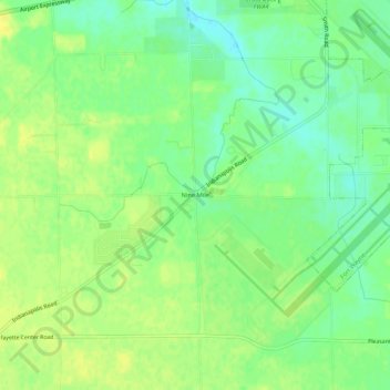
Name: Nine Mile topographic map, elevation, terrain.

Location: Nine Mile, Allen County, Indiana, 46798, United States (40.95505 -85.24497 40.99505 -85.20497)

Average elevation: 245 m

Minimum elevation: 234 m

Maximum elevation: 254 m

Other topographic maps

Click on a map to view its topography, its elevation and its terrain.

Leo-Cedarville

United States > Indiana > Allen County

Average elevation: 245 m

Monroeville

United States > Indiana > Allen County

Average elevation: 242 m

Woodburn

United States > Indiana > Allen County

Average elevation: 228 m

New Haven

United States > Indiana > Allen County

Average elevation: 237 m

Gear up for your next adventure:

🥾Approach Shoes - Shoes designed for climbing approaches and rugged trails
🔭Compact Monocular - One-handed bird watching and trail spotting
🔥Emergency Fire Starter - Reliable ignition source for all weather conditions
💧Reusable Water Bottle - Durable water bottles for hydration on trails
🪜Heavy Duty Carabiners - Multi-use clips for securing gear to your backpack

As an Amazon Associate, this site earns from qualifying purchases at no extra cost to you.