Geolocate

Groß-Gerau topographic map

Click on the map to display elevation.

About this map

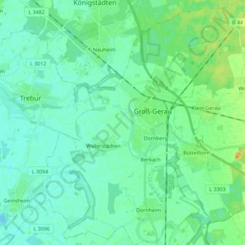
Name: Groß-Gerau topographic map, elevation, terrain.

Location: Groß-Gerau, Kreis Groß-Gerau, Hesse, 64521, Germany (49.86313 8.40462 49.96586 8.55083)

Average elevation: 89 m

Minimum elevation: 81 m

Maximum elevation: 114 m

Gear up for your next adventure:

🧢Sun Hat - Wide-brim hat for sun protection
🧥Fleece Jacket - Warm and lightweight jacket for layering
💡LED Camping Lantern - Illuminate your campsite with long-lasting lanterns
🛏️Sleeping Bag - Warm and compact sleeping bags for outdoor camping
🧤Rechargeable Heated Gloves - Extreme warmth for Canadian winter expeditions

As an Amazon Associate, this site earns from qualifying purchases at no extra cost to you.