Geolocate

Tiruvallur topographic map

Click on the map to display elevation.

About this map

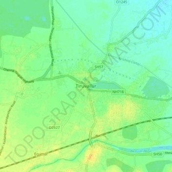
Name: Tiruvallur topographic map, elevation, terrain.

Location: Tiruvallur, Thiruvallur, Tamil Nadu, 602001, India (13.09942 79.86708 13.17942 79.94708)

Average elevation: 43 m

Minimum elevation: 34 m

Maximum elevation: 54 m

Gear up for your next adventure:

💧Collapsible Water Bottle - Space-saving water bottle for outdoor activities
🔋Emergency Crank Radio - Weather alerts and power without needing batteries
🏕️Camping Hammock - Integrated protection for sleeping between trees
Backpacking Tent - Lightweight tent for long-distance hiking trips
🔭Outdoor Binoculars - Lightweight binoculars for birdwatching and hiking

As an Amazon Associate, this site earns from qualifying purchases at no extra cost to you.