Geolocate

Spring Creek topographic map

Click on the map to display elevation.

About this map

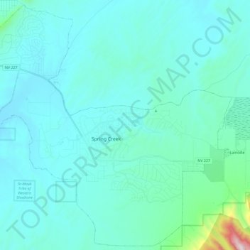
Name: Spring Creek topographic map, elevation, terrain.

Location: Spring Creek, Elko County, Nevada, United States (40.66372 -115.70982 40.82958 -115.48305)

Average elevation: 1,721 m

Minimum elevation: 1,606 m

Maximum elevation: 2,836 m

Gear up for your next adventure:

🥾Trail Hiking Shoes - Durable shoes designed for rugged trails
🥾Trail Hiking Boots - Supportive boots for rough trails
🧥Softshell Jacket - Windproof and breathable jacket for hiking
🥾Hiking Shorts - Breathable shorts suitable for summer hikes
🧳Compression Sacks - Maximize space in your backpack by shrinking gear

As an Amazon Associate, this site earns from qualifying purchases at no extra cost to you.