
Make a donation
Gear up for your next adventure:
As an Amazon Associate, this site earns from qualifying purchases at no extra cost to you.
Mertingen topographic map
Click on the map to display elevation.
Make a donation
Gear up for your next adventure:
As an Amazon Associate, this site earns from qualifying purchases at no extra cost to you.
Mertingen
Früheste Spuren menschlicher Besiedelung stammen aus der Altsteinzeit. Dies belegt der seltene Einzelfund eines Faustkeils auf dem Höhenrücken südöstlich von Mertingen.
Make a donation
Gear up for your next adventure:
As an Amazon Associate, this site earns from qualifying purchases at no extra cost to you.
About this map
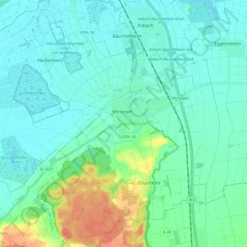
Name: Mertingen topographic map, elevation, terrain.
Location: Mertingen, Landkreis Donau-Ries, Bayern, 86690, Deutschland (48.61898 10.73666 48.68715 10.84792)
Average elevation: 413 m
Minimum elevation: 399 m
Maximum elevation: 460 m
Make a donation
Gear up for your next adventure:
As an Amazon Associate, this site earns from qualifying purchases at no extra cost to you.