Geolocate

Khadi topographic map

Click on the map to display elevation.

About this map

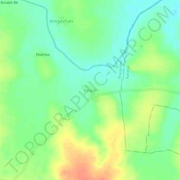
Name: Khadi topographic map, elevation, terrain.

Location: Khadi, Mangrulpir, Washim District, Maharashtra, India (20.35846 77.40887 20.39846 77.44887)

Average elevation: 413 m

Minimum elevation: 393 m

Maximum elevation: 441 m

Gear up for your next adventure:

🧥Waterproof Jacket - Lightweight rain jackets for hiking and outdoor activities
🔋Emergency Crank Radio - Weather alerts and power without needing batteries
🪑Ultralight Camping Stool - Compact seating for rest stops during long hikes
🧢Outdoor Visor - Breathable visor for sunny hikes
🥾Hiking Shoes - Durable and comfortable shoes for trail hiking

As an Amazon Associate, this site earns from qualifying purchases at no extra cost to you.