Geolocate

Frais topographic map

Click on the map to display elevation.

About this map

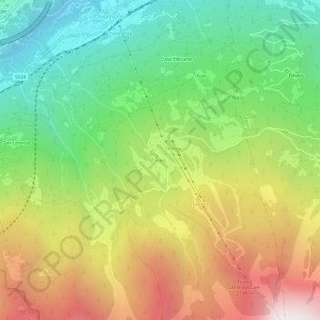
Name: Frais topographic map, elevation, terrain.

Location: Frais, Chiomonte, Torino, Piedmont, Italy (45.08152 6.97412 45.12152 7.01412)

Average elevation: 1,462 m

Minimum elevation: 654 m

Maximum elevation: 2,563 m

Gear up for your next adventure:

🗺️Topographic Maps - Detailed maps to explore trails, mountains, and wilderness areas
🔨Vehicle Emergency Tool - Safety tool for remote road trips to trailheads
Lightweight Backpacking Tent - Compact tent for efficient hiking trips
🚲Heavy Duty Bike Lock - Secure your bike at the trailhead or during stops
🧦Merino Wool Socks - Moisture-wicking comfort for long-distance hiking

As an Amazon Associate, this site earns from qualifying purchases at no extra cost to you.