
Ballstad topographic map
Interactive map
Click on the map to display elevation.
About this map
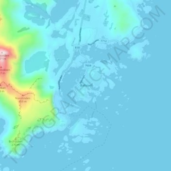
Name: Ballstad topographic map, elevation, terrain.
Location: Ballstad, Vestvågøy, Nordland, 8373, Norvège (68.05420 13.52479 68.09420 13.56479)
Average elevation: 49 m
Minimum elevation: -2 m
Maximum elevation: 650 m