Geolocate

Tabon-tabon topographic map

Click on the map to display elevation.

About this map

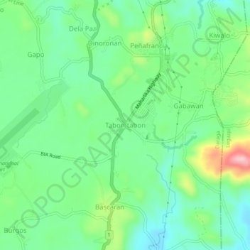
Name: Tabon-tabon topographic map, elevation, terrain.

Location: Tabon-tabon, Daraga, Albay, Bicol Region, 4501, Philippines (13.09798 123.68066 13.13798 123.72066)

Average elevation: 95 m

Minimum elevation: 37 m

Maximum elevation: 224 m

Gear up for your next adventure:

🥾Lightweight Hiking Boots - Boots for comfort and mobility on long hikes
🧭GPS Handheld Device - Reliable GPS navigation for outdoor adventures
🔦LED Headtorch - Bright and durable light for night activities
👟Trail Running Shoes - Agile footwear for fast-paced topographic exploration
🕯️Camping Lantern - Illuminates your entire campsite with high-efficiency LEDs

As an Amazon Associate, this site earns from qualifying purchases at no extra cost to you.