
Los Robles topographic map
Interactive map
Click on the map to display elevation.
About this map
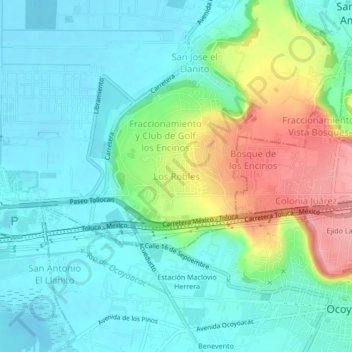
Name: Los Robles topographic map, elevation, terrain.
Location: Los Robles, Lerma, Estado de México, 52005, México (19.26755 -99.50123 19.30755 -99.46123)
Average elevation: 2,600 m
Minimum elevation: 2,566 m
Maximum elevation: 2,687 m