
Hasle topographic map
Interactive map
Click on the map to display elevation.
About this map
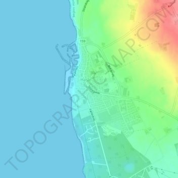
Name: Hasle topographic map, elevation, terrain.
Location: Hasle, Bornholms Regionskommune, Region Hovedstaden, Danemark (55.17488 14.70278 55.18983 14.72139)
Average elevation: 18 m
Minimum elevation: -1 m
Maximum elevation: 85 m