
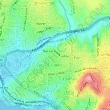
Orhangazi Mahallesi topographic map
Interactive map
Click on the map to display elevation.
About this map
Name: Orhangazi Mahallesi topographic map, elevation, terrain.
Location: Orhangazi Mahallesi, Pendik, Istanbul, Marmara Region, Turkey (40.86330 29.28206 40.87342 29.29601)
Average elevation: 41 m
Minimum elevation: 0 m
Maximum elevation: 122 m