
Midlan topographic map
Interactive map
Click on the map to display elevation.
About this map
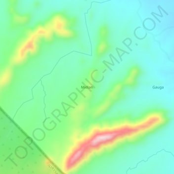
Name: Midlan topographic map, elevation, terrain.
Location: Midlan, Gaissan, Blue Nile State, Sudan (10.81333 34.68000 10.85333 34.72000)
Average elevation: 743 m
Minimum elevation: 657 m
Maximum elevation: 964 m