
Kotla Nihang topographic map
Interactive map
Click on the map to display elevation.
About this map
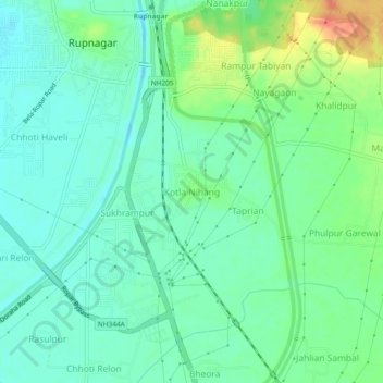
Name: Kotla Nihang topographic map, elevation, terrain.
Location: Kotla Nihang, Rupnagar Tahsil, Rupnagar, Pendjab, Inde (30.93321 76.51819 30.97321 76.55819)
Average elevation: 280 m
Minimum elevation: 265 m
Maximum elevation: 315 m