Anatolia topographic map
Click on the map to display elevation.
Anatolia
Anatolia (Greek: Ανατολή, Turkish: Anadolu), also known as Asia Minor, is a peninsula in West Asia that makes up the majority of the land area of Turkey. It is the westernmost protrusion of Asia and is geographically bounded by the Mediterranean Sea to the south, the Aegean Sea to the west, the Bosporus, the Propontis and Hellespont to the northwest, and the Black Sea to the north. The eastern and southeastern limits have been expanded either to the entirety of Asiatic Turkey or to an imprecise line from the Black Sea to the Gulf of Alexandretta. Topographically, the Sea of Marmara connects the Black Sea with the Aegean Sea through the Bosporus and the Dardanelles, and separates Anatolia from Thrace in Southeast Europe.
About this map
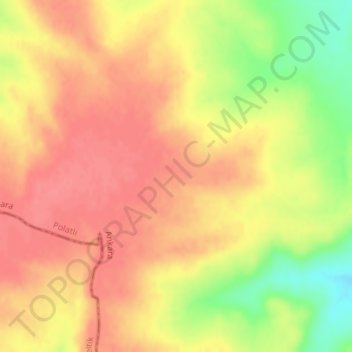
Name: Anatolia topographic map, elevation, terrain.
Average elevation: 952 m
Minimum elevation: 907 m
Maximum elevation: 974 m
Other topographic maps
Click on a map to view its topography, its elevation and its terrain.