Geolocate

Cantamarca topographic map

Click on the map to display elevation.

About this map

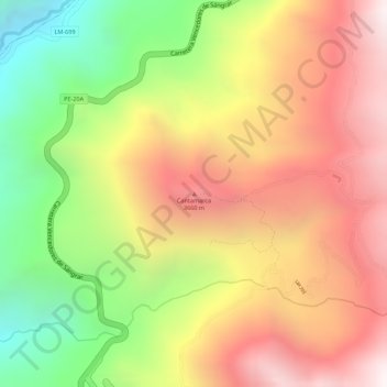
Name: Cantamarca topographic map, elevation, terrain.

Location: Cantamarca, Canta, Lima, 15365, Perú (-11.43879 -76.59237 -11.43869 -76.59227)

Average elevation: 3,501 m

Minimum elevation: 2,894 m

Maximum elevation: 3,983 m

Gear up for your next adventure:

🧭GPS Tracker - Track your location in remote areas safely
🥫Freeze-Dried Meals - Lightweight, high-calorie nutrition for multi-day treks
🧢Hiking Sun Hat - Wide-brimmed protection for exposed mountain ridges
👟Sport Hiking Sandals - Breathable footwear for water crossings and camp rest
🔦LED Headlamp - Hands-free lighting for early morning starts or late finishes

As an Amazon Associate, this site earns from qualifying purchases at no extra cost to you.