Geolocate

Betla topographic map

Click on the map to display elevation.

About this map

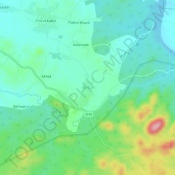
Name: Betla topographic map, elevation, terrain.

Location: Betla, Barwadih, Latehar, Jharkhand, 822111, India (23.87031 84.17564 23.91031 84.21564)

Average elevation: 297 m

Minimum elevation: 254 m

Maximum elevation: 419 m

Gear up for your next adventure:

Family Camping Tent - Spacious tent suitable for family camping trips
🧤Thermal Hiking Gloves - Grip-enhanced gloves for cold-weather altitude trekking
💡LED Camping Lantern - Illuminate your campsite with long-lasting lanterns
🧤Rechargeable Heated Gloves - Extreme warmth for Canadian winter expeditions
🧼Biodegradable Camp Soap - Environmentally friendly cleaning for gear and body

As an Amazon Associate, this site earns from qualifying purchases at no extra cost to you.