
Thank you for supporting this site ❤️
Make a donation
Make a donation
Gear up for your next adventure:
As an Amazon Associate, this site earns from qualifying purchases at no extra cost to you.
Denuy topographic map
Click on the map to display elevation.
Thank you for supporting this site ❤️
Make a donation
Make a donation
Gear up for your next adventure:
As an Amazon Associate, this site earns from qualifying purchases at no extra cost to you.
About this map
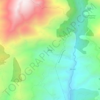
Name: Denuy topographic map, elevation, terrain.
Location: Denuy, Laspaúles, Ribagorza, Huesca, Aragón, España (42.47702 0.61321 42.51702 0.65321)
Average elevation: 1,527 m
Minimum elevation: 1,062 m
Maximum elevation: 2,334 m
Thank you for supporting this site ❤️
Make a donation
Make a donation
Gear up for your next adventure:
As an Amazon Associate, this site earns from qualifying purchases at no extra cost to you.