
Thank you for supporting this site ❤️
Make a donation
Make a donation
Gear up for your next adventure:
As an Amazon Associate, this site earns from qualifying purchases at no extra cost to you.
Espalá topographic map
Click on the map to display elevation.
Thank you for supporting this site ❤️
Make a donation
Make a donation
Gear up for your next adventure:
As an Amazon Associate, this site earns from qualifying purchases at no extra cost to you.
About this map
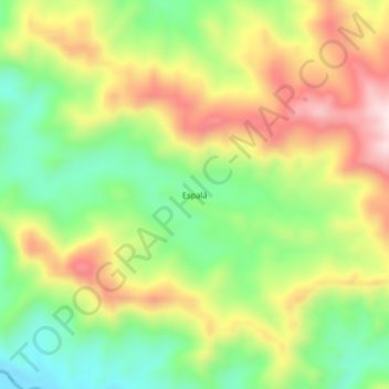
Name: Espalá topographic map, elevation, terrain.
Location: Espalá, Zapotillo, Distrito de Las Palmas, Veraguas, Panamá (7.90094 -81.55241 7.94094 -81.51241)
Average elevation: 194 m
Minimum elevation: 7 m
Maximum elevation: 421 m
Thank you for supporting this site ❤️
Make a donation
Make a donation
Gear up for your next adventure:
As an Amazon Associate, this site earns from qualifying purchases at no extra cost to you.