
Wormerland topographic map
Interactive map
Click on the map to display elevation.
About this map
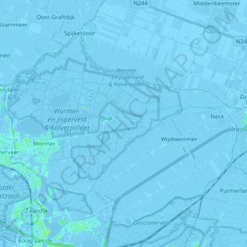
Name: Wormerland topographic map, elevation, terrain.
Location: Wormerland, Nordholland, Niederlande (52.46844 4.78869 52.54269 4.93472)
Average elevation: -2 m
Minimum elevation: -7 m
Maximum elevation: 8 m
Other topographic maps
Click on a map to view its topography, its elevation and its terrain.
Oostknollendam
Niederlande > Nordholland > Wormerland
Oostknollendam, Wormerland, Nordholland, Niederlande
Average elevation: -2 m
Jisp
Niederlande > Nordholland > Wormerland
Jisp, Wormerland, Nordholland, Niederlande
Average elevation: -2 m