Geolocate

A Merca topographic map

Click on the map to display elevation.

About this map

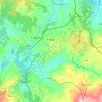
Name: A Merca topographic map, elevation, terrain.

Location: A Merca, Terra da Celanova, Ourense, Galicia, Spain (42.15318 -7.96365 42.26704 -7.84962)

Average elevation: 469 m

Minimum elevation: 308 m

Maximum elevation: 900 m

Gear up for your next adventure:

🥾Waterproof Hiking Boots - Boots keeping your feet dry in wet conditions
🔭Outdoor Binoculars - Lightweight binoculars for birdwatching and hiking
🛁Quick-Dry Microfiber Towel - Space-saving towel that dries rapidly on the move
🛌Down Sleeping Bag - Superior warmth-to-weight ratio for cold nights
🔋Lithium AA Batteries - Long-lasting power that performs in extreme cold

As an Amazon Associate, this site earns from qualifying purchases at no extra cost to you.