
Carroll Valley topographic map
Click on the map to display elevation.
About this map
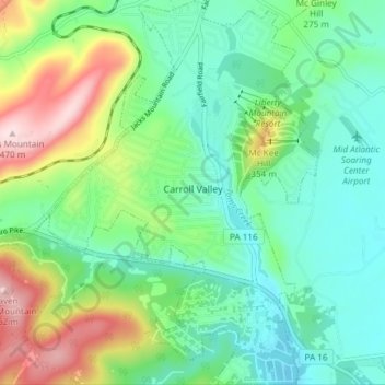
Name: Carroll Valley topographic map, elevation, terrain.
Average elevation: 232 m
Minimum elevation: 131 m
Maximum elevation: 473 m
Other topographic maps
Click on a map to view its topography, its elevation and its terrain.
Raven Rock Mountain
United States > Pennsylvania > Adams County > Liberty Township
Average elevation: 312 m
Gladhill (Greenstone P.O.)
United States > Pennsylvania > Adams County > Hamiltonban Township
Average elevation: 365 m