
Altona topographic map
Click on the map to display elevation.
About this map
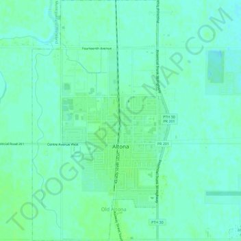
Name: Altona topographic map, elevation, terrain.
Location: Altona, Division No. 3, Manitoba, R0G 0B0, Canada (49.08853 -97.57920 49.12567 -97.54733)
Average elevation: 248 m
Minimum elevation: 243 m
Maximum elevation: 252 m
Division No. 3 trails, hiking, mountain biking, running and outdoor activities
Other topographic maps
Click on a map to view its topography, its elevation and its terrain.
Hochfeld
Canada > Manitoba > Division No. 3 > Rural Municipality of Stanley > Hochfeld
Average elevation: 284 m