Geolocate

Boston topographic map

Click on the map to display elevation.

About this map

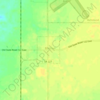
Name: Boston topographic map, elevation, terrain.

Location: Boston, Wayne County, Indiana, 47324, United States (39.73746 -84.85576 39.74478 -84.84777)

Average elevation: 344 m

Minimum elevation: 328 m

Maximum elevation: 351 m

Other topographic maps

Click on a map to view its topography, its elevation and its terrain.

East Germantown

United States > Indiana > Wayne County > Pershing

Average elevation: 291 m

Gear up for your next adventure:

🧤Insulated Winter Gloves - Heavy-duty protection for sub-zero Canadian adventures
🍽️Titanium Camping Spork - Ultralight and indestructible eating utensil
🥾Hiking Leggings - Comfortable leggings for outdoor activities
🧤Rechargeable Heated Gloves - Extreme warmth for Canadian winter expeditions
🧥Thermal Layer - Insulating layer for cold outdoor conditions

As an Amazon Associate, this site earns from qualifying purchases at no extra cost to you.