Geolocate

Easton topographic map

Click on the map to display elevation.

About this map

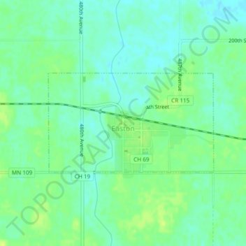
Name: Easton topographic map, elevation, terrain.

Location: Easton, Faribault County, Minnesota, 56025, United States (43.76063 -93.91255 43.77156 -93.88739)

Average elevation: 321 m

Minimum elevation: 314 m

Maximum elevation: 329 m

Other topographic maps

Click on a map to view its topography, its elevation and its terrain.

Huntley

United States > Minnesota > Faribault County

Average elevation: 333 m

Gear up for your next adventure:

💡LED Headlamp - Hands-free illumination for night hiking and camping
🚑Survival Whistle - Signal for help across long distances in mountains
🧥Waterproof Pants - Keep dry during rainy hiking conditions
🧴Sunscreen SPF - Broad-spectrum sunscreen for outdoor activities
🧣Merino Neck Gaiter - Protects against wind, sun, and cold at high altitudes

As an Amazon Associate, this site earns from qualifying purchases at no extra cost to you.